

Thunderstorms over Munich
01.08.2023
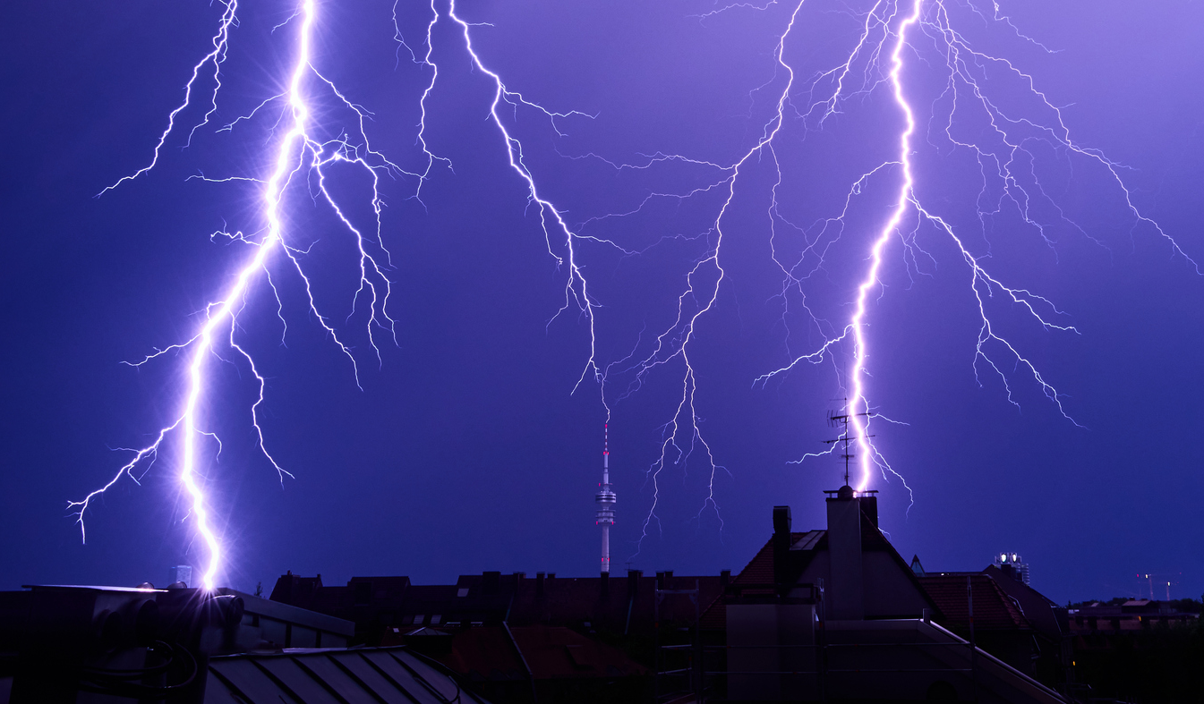
The picture above shows a thunderstorm event with lightning over Munich, photographed by Bernhard Mayer on 18.7.2023 at 22:55.
For the past 10 years, a series of student projects (Laufmann, 2017; Herzog, 2020, Humer-Hager, 2023) at MIM investigated the distribution of thunderstorm precipitation tracks (rain and hail) in Germany - and more specifically - in the vicinity of Munich. While a well-known north-south gradient was confirmed for Germany in a 10-year data set of radar data from the German Weather Service for the thunderstorm season from April to September (thunderstorms in the south are two to three times more frequent than in the north of the republic), the directions for Munich can be summarized with the following figure.
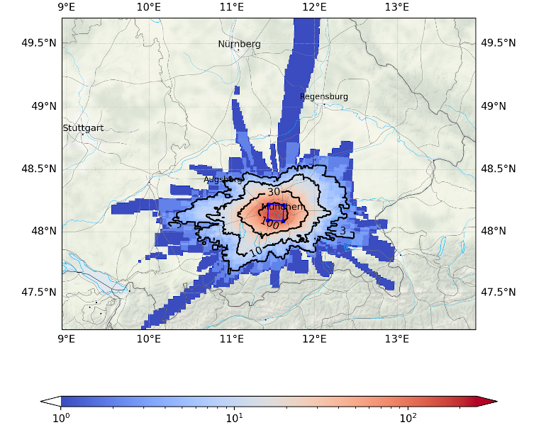
Shown is the track distribution for all thunderstorm precipitation event passing over the inner area of the city (16 km x 16 km, blue box). This means, usual directions of Munich thunderstorms become visible. More precisely, it is shown which areas around the city were affected by the same thunderstorms before or after they pass over the city. The preference for thunderstorms approaching from the southwest and moving to the northeast becomes clear - a fact valid throughout all the Bavarian Alpine foothill region. Of 300 thunderstorm events in 10 years over the city, for example, about 20-30 have also passed through the Lake Ammersee region, but only about 5 events have passed the area around Pfaffenhofen north of Munich. Trajectories of individual events still stand out as blue stripes.
This distribution is not to be confused with the total thunderstorm distribution, which shows hardly any difference in frequency in the entire Munich area. To stay with the example - both the Ammersee and Pfaffenhofen, as well as the city center or sorrounding areas south or south-east are affected by an average of about 30 moderate to strong thunderstorm precipitation events per year.
As part of the work, it was also investigated whether the city has an impact on the distribution or direction of movement of thunderstorms. Such influences are conceivable in principle. Munich, however, does not seem to have any measurable influence on the paths of the thunderstorms. The weak, certainly existing influences of the city are dominated by the topographical conditions and the large-scale weather conditions dominating in the Munich area, with flow from southwest to northwest and regular passage of fronts.
Contact: tobias.zinner@lmu.de