Satellite data assimilation
Using geostationary satellite observations related to clouds and humidity in ensemble data assimilation
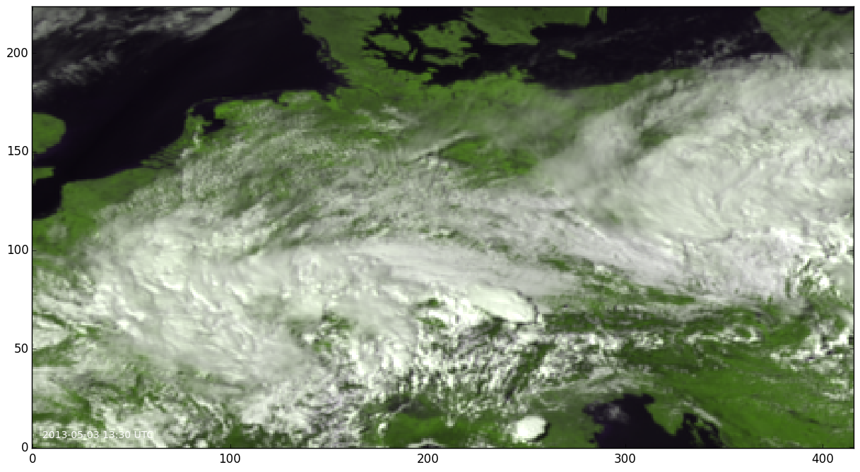
Figure 1: Composite satellite image generated from 0.6 μm and 0.8 μm SEVIRI observations on May 3, 2013, 13:30 UTC.
Numerical weather models like the German COSMO-DE model are run at very high-resolution and can explicitly resolve convection. However, the forecasts are initialized from analyses which often lack information of observations at these scales. This gap can be filled by optimising the use of geostationary satellite observations which have a high spatial and temporal resolution and provide information on atmospheric humidity, temperature and clouds.
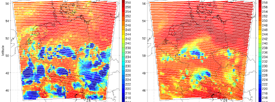
The Spinning Enhanced Visible and Infrared Imager (SEVIRI) instrument on board the geostationary Meteosat satellite provides measurements at 12 different channels covering wavelengths from 0.6 μm (visible) to 13.4 μm (infrared). Several channels are located in atmospheric window bands, but there are also channels that are sensitive to water vapour, carbon dioxide and ozone.
One major topic of the HErZ data assimilation branch is to enable the appropriate use of the SEVIRI observations which include information on clouds and humidity. The potential of the satellite data is currently not optimally exploited due to several difficulties, e.g. in the forward modeling of the observations or the treatment of clouds.
Related to the exploitation of these observations and the assimilation with the Km-scale ENsemble Data Assimilation (KENDA) system developed for the COSMO model, a number of questions are addressed which cover:
- the development of a fast and accurate forward operator for visible and near infrared channels,
- the adequate treatment of observation errors of cloud-affected observations
- the minimization and correction of systematic errors
- the investigation of an optimal vertical localization of the non-local satellite observations
- the assimilation of observations from several channels
- the evaluation of the relative benefit and impact-time of humidity-related versus cloud-related observations